Corridor Hub • St. Petersburg Waterfront Last updated 2026-11-17
St. Petersburg Waterfront Homes, Docks & Flood Zone Guide
St. Pete seawalls, deep-water boat docks, Flood Zones X/AE/VE, and Elevation Certificates from Bahama Shores to Snell Isle.
Mark Davis (FL Lic BK3209459) & Rachael Garnett (FL Lic SL3378601) • Align Right Realty Carrollwood
Quick Answer
St. Pete waterfront homes offer great boating across Tampa Bay and Boca Ciega Bay. True value depends on seawall age, bridge height, and floor height above Base Flood Elevation (BFE). Checking Elevation Certificates early prevents insurance surprises.
Key St. Pete Enclaves
Bahama Shores, Snell Isle, Old Northeast, Shore Acres
Source: Pinellas County Property AppraiserFlood Underwriting Tool
FEMA Elevation Certificate & Risk Rating 2.0
Source: FEMA National Flood Insurance ProgramWindstorm Savings
Florida OIR-B1-1802 Wind Mitigation Form
Source: Florida Office of Insurance RegulationLocal Advisor Playbook
How Mark & Rachael Handle It
We check Pinellas waterfront streets block by block. Our team pulls city permits, checks FEMA 50% Rule history, sets up seawall checks, and gets flood quotes early.
Matching Active Properties
View All Listings →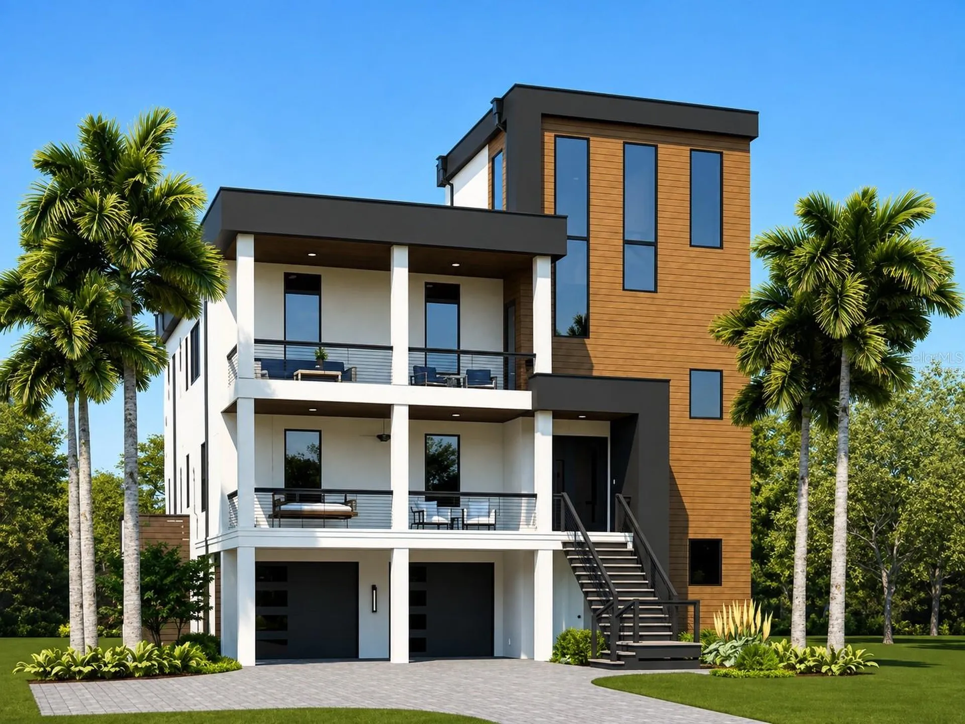
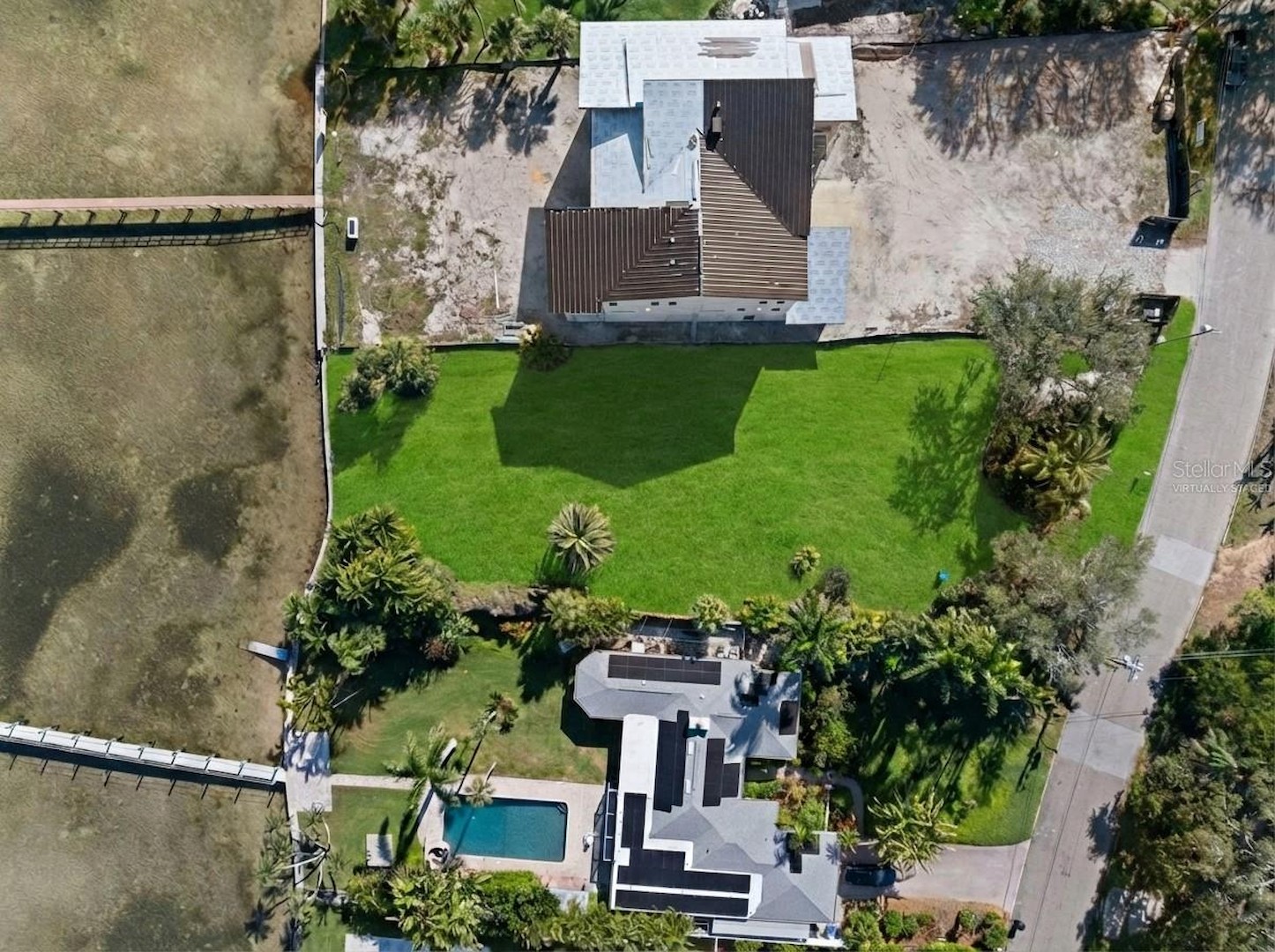
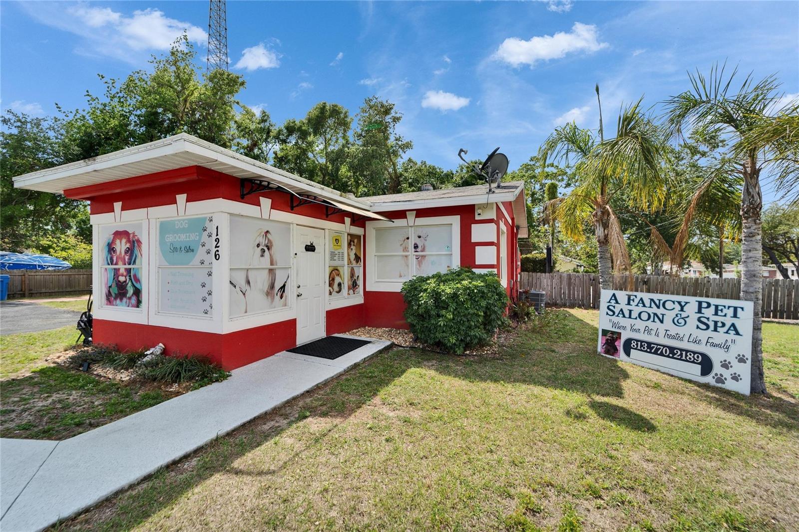
Guides & Answers for This Hub
All Guides →Q&A • Insurance & Risk Q&A
Flood Zone X vs. AE in Tampa Bay: Where You Need Flood Insurance (and Where You Don't)
Advisory Guide • Buyer GuidePDF Available
Buying Waterfront & Unique Homes in Tampa Bay
Advisory Guide • Relocation GuidePDF Available
Moving Your Family or Business to Tampa Bay
Q&A • Neighborhood Q&A
Should I Buy a Home in Tampa or St. Petersburg?
Advisory Guide • Tax & Savings GuidePDF Available
Florida Homestead Exemption & Tax Portability
Q&A • 55+ Active Adult Q&A
55+ Condo vs. Single-Story Villa in Tampa Bay: Reserves & HOA Rules Explained
Connected Areas & New Developments
Area Guide
St. Pete Downtown & Beaches
Area Guide
Clearwater & Pinellas County
Area Guide
Keystone (The Rural & Equestrian Escape)
Development
Bahama Shores, Snell Isle & Historic Old Northeast
Development
Downtown St. Pete Towers: Waldorf Astoria, Art House & Saltaire
Development
The Ritz-Carlton Residences, Tampa
Frequently Asked Questions
What does FEMA's 50% Rule mean for older St. Pete homes?
Updating an older ground-level Zone AE house past 50% of building value sets off strict flood rules. The city then makes owners raise the home up to new flood height.
Do all St. Pete waterfront lots allow a boat lift?
Dock and lift sizes follow Pinellas County water rules. Side lot setbacks and sea grass zones also set where a boat slip can go.